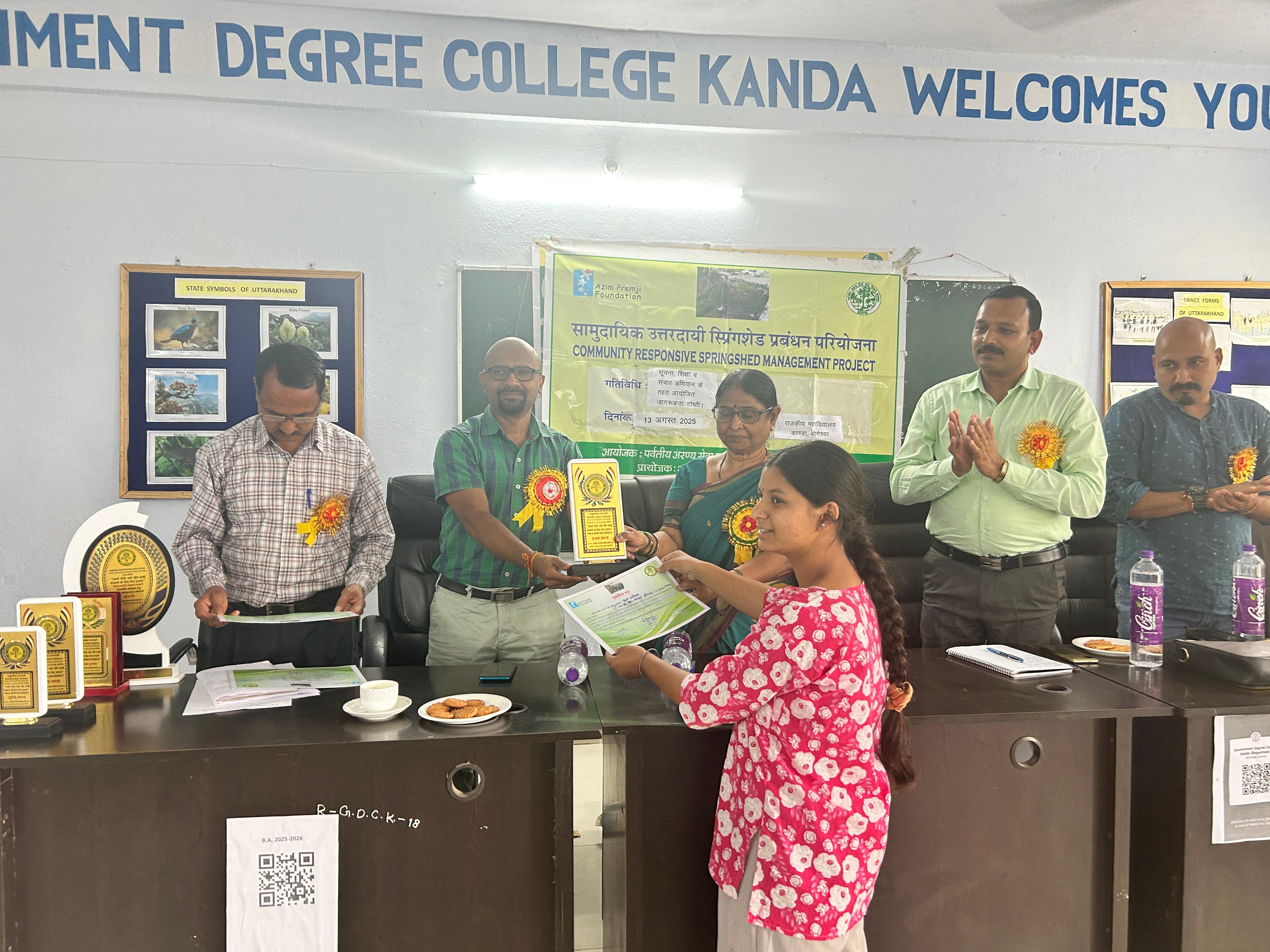
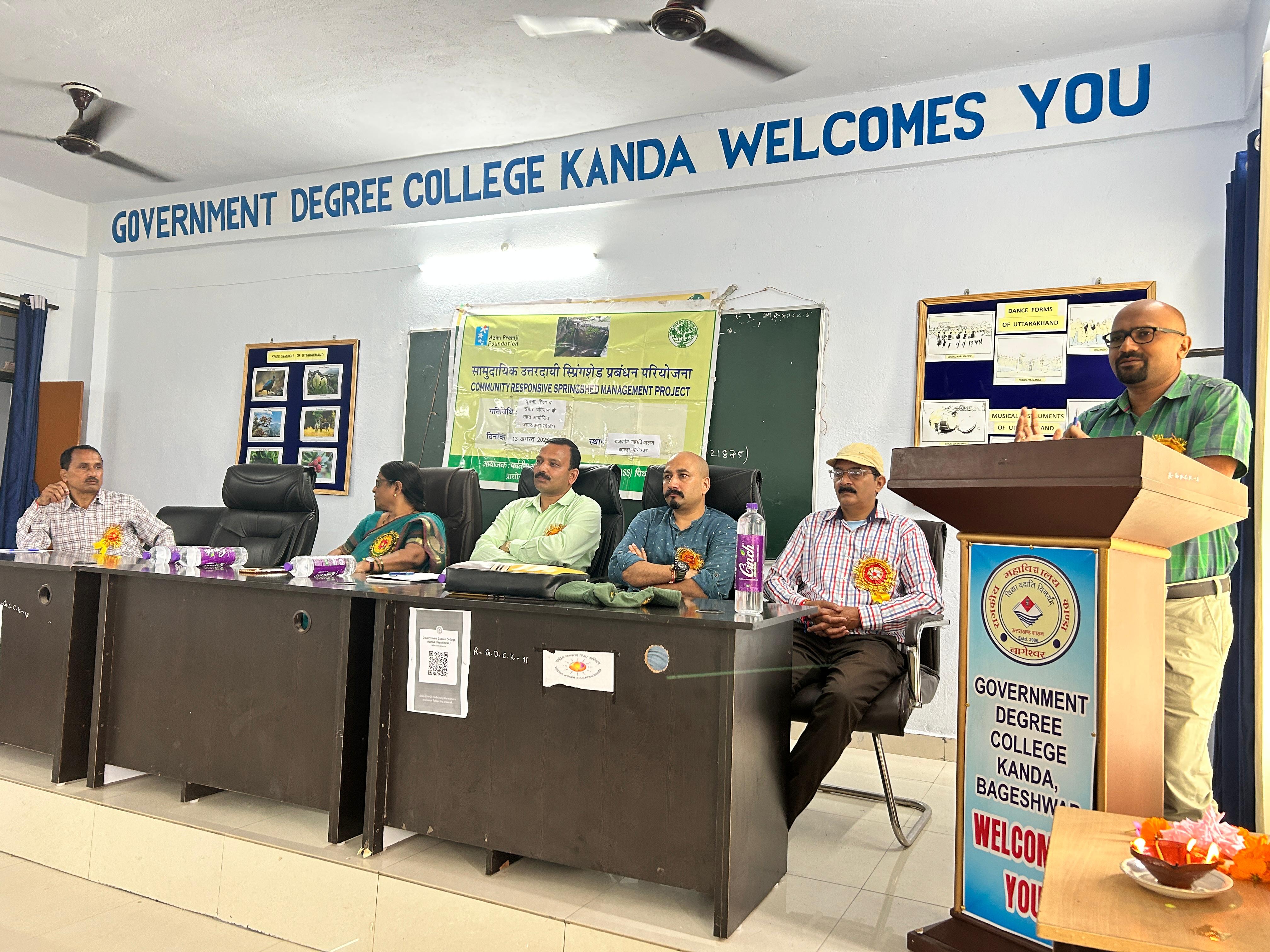
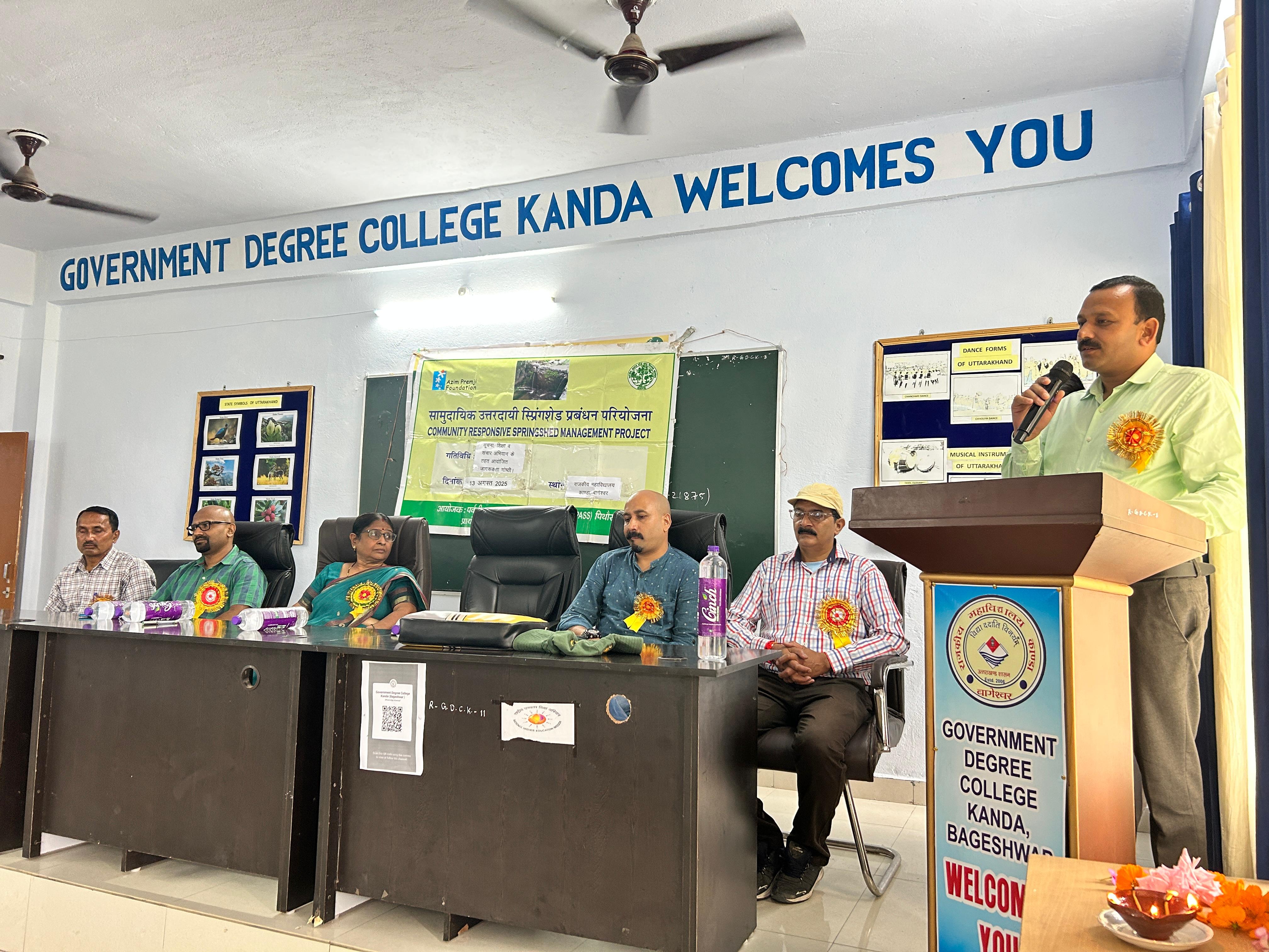
Funded & Supported by : Azim Premji Foundation/Azim Premji Philanthropic Initiative
Geographical Area : Kanda Area of Bageshwar District (Uttarakhand)
Major goal is to delineate Springsheds, rejuvenate springs using latest scientific technologies (Geo-Hydrology & RS-GIS) with traditional wisdom, build capacity of community and develop protocols for springshed management so that discharge in springs increases and sources become long term sustainable.
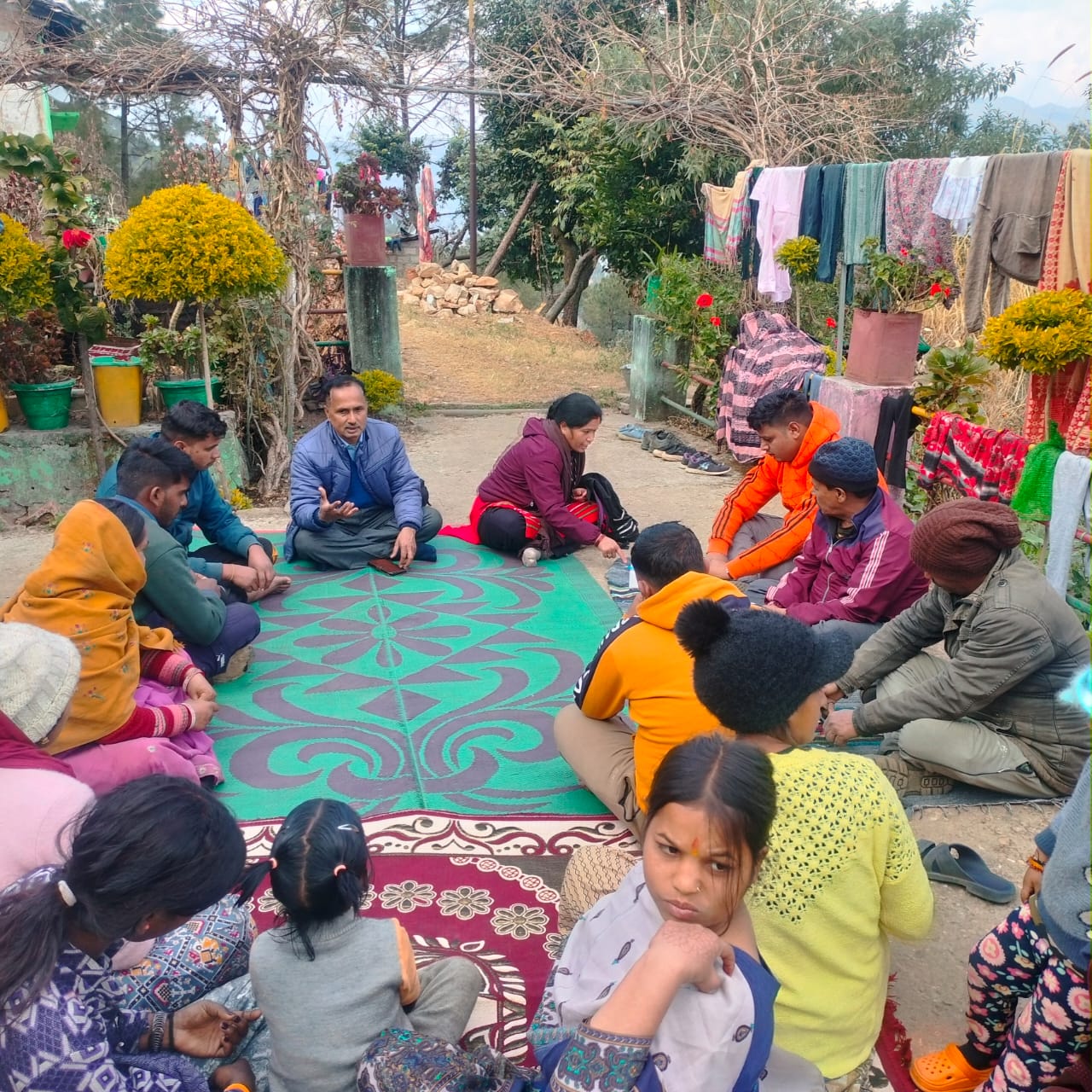
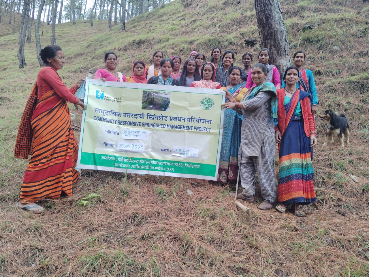
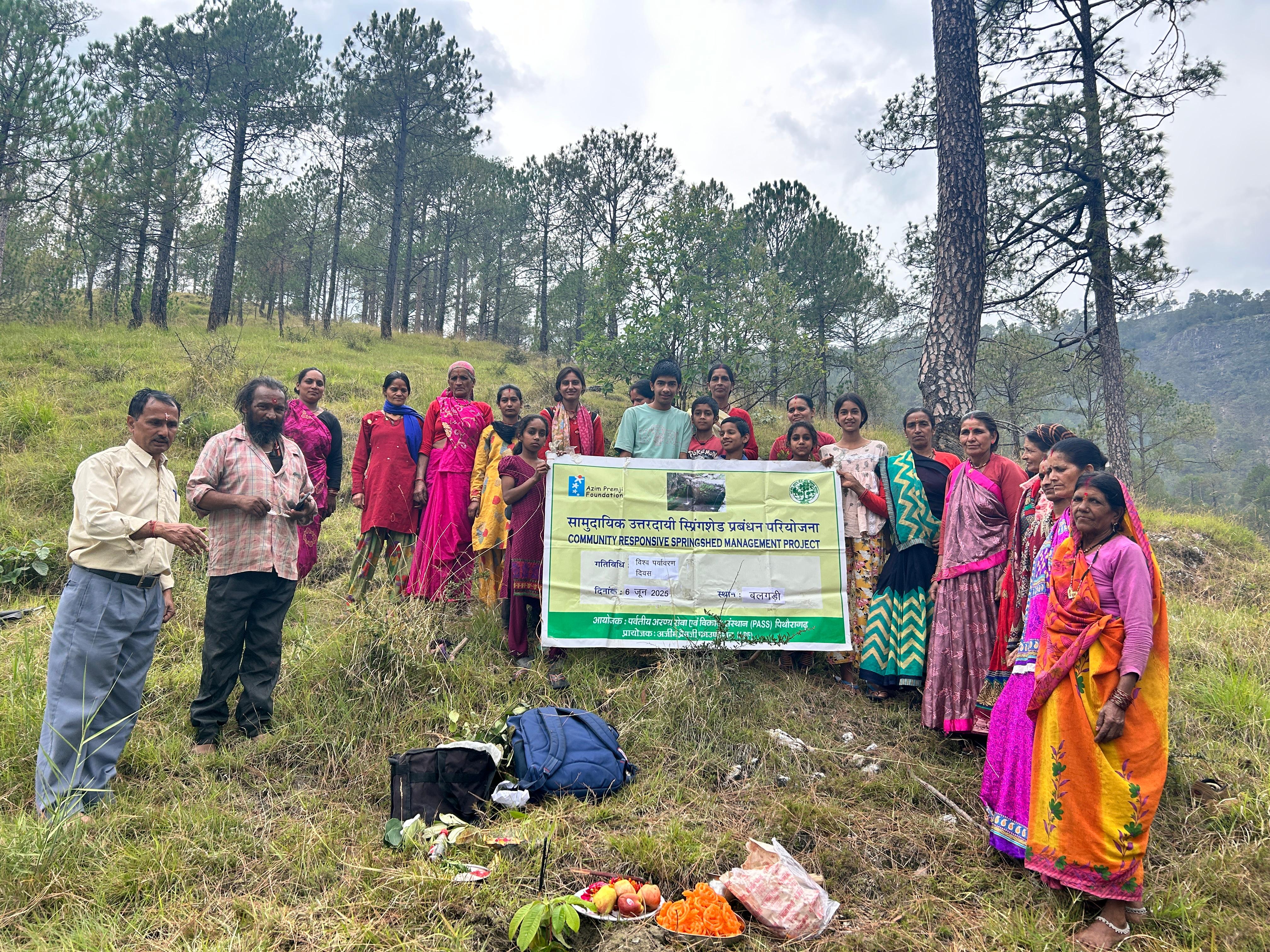
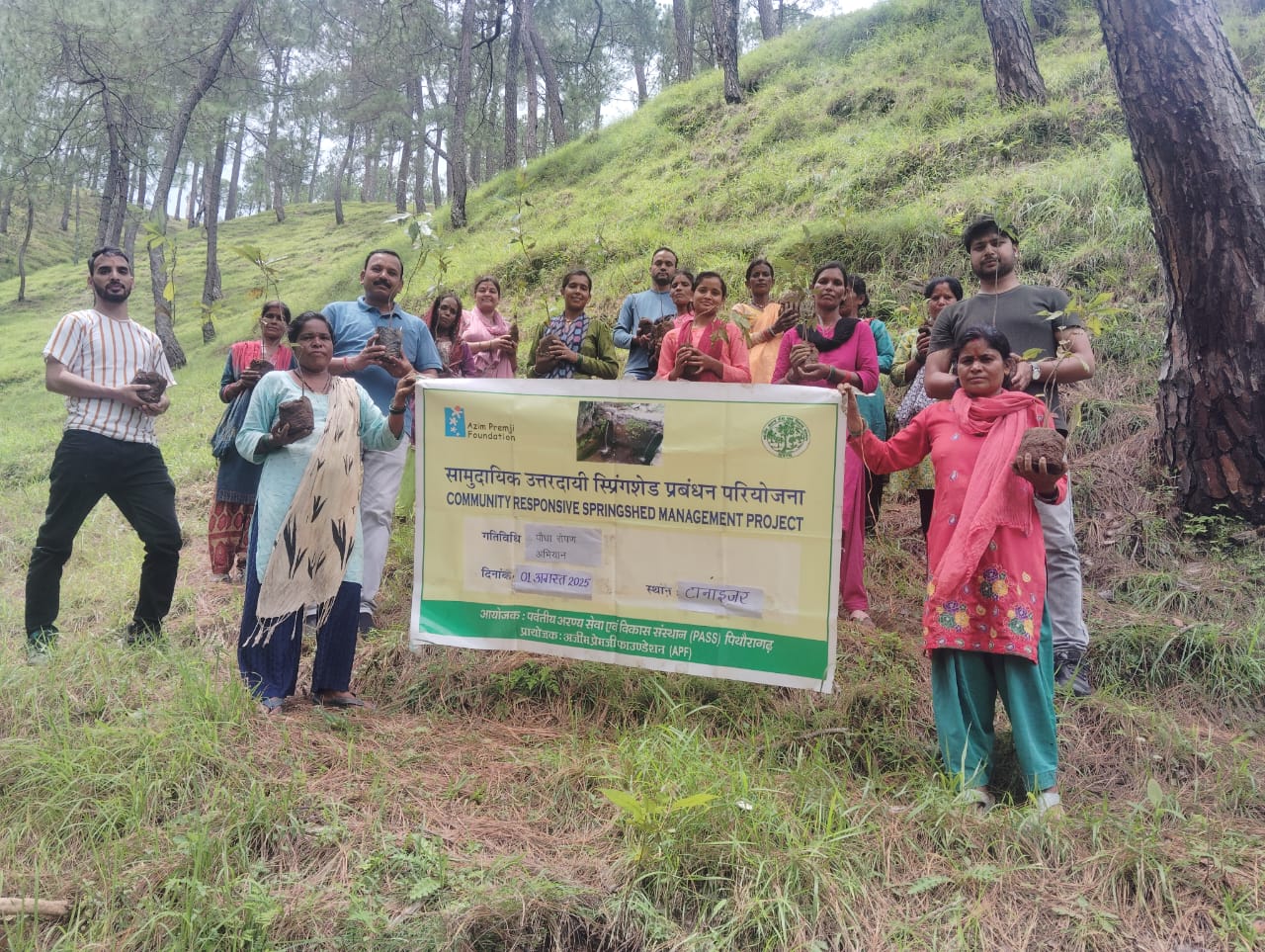
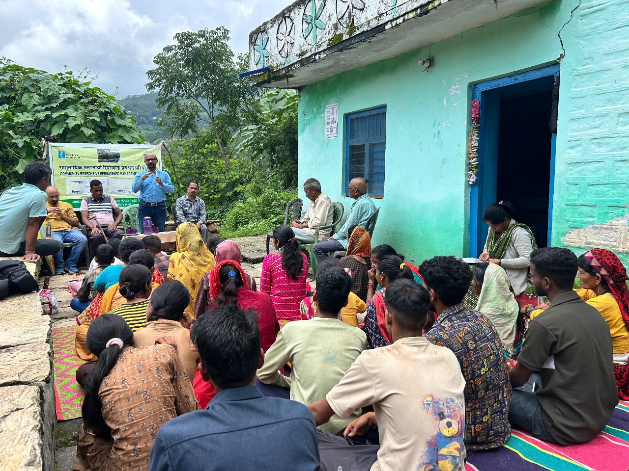
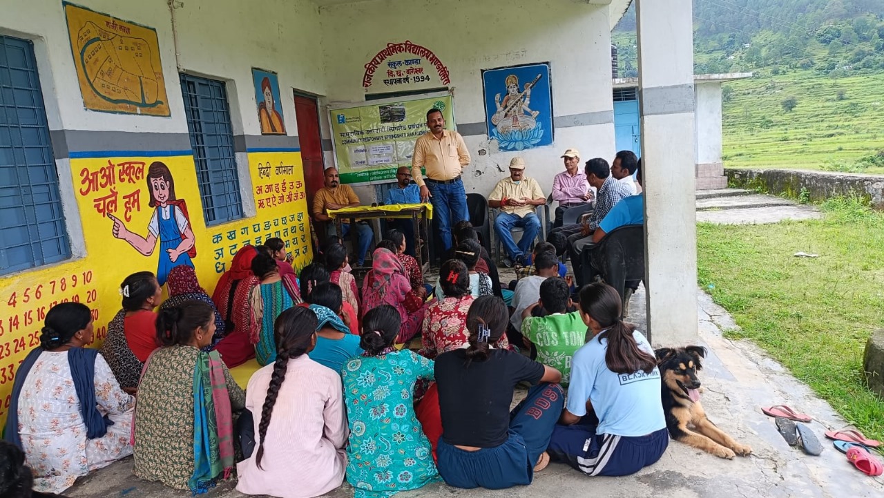
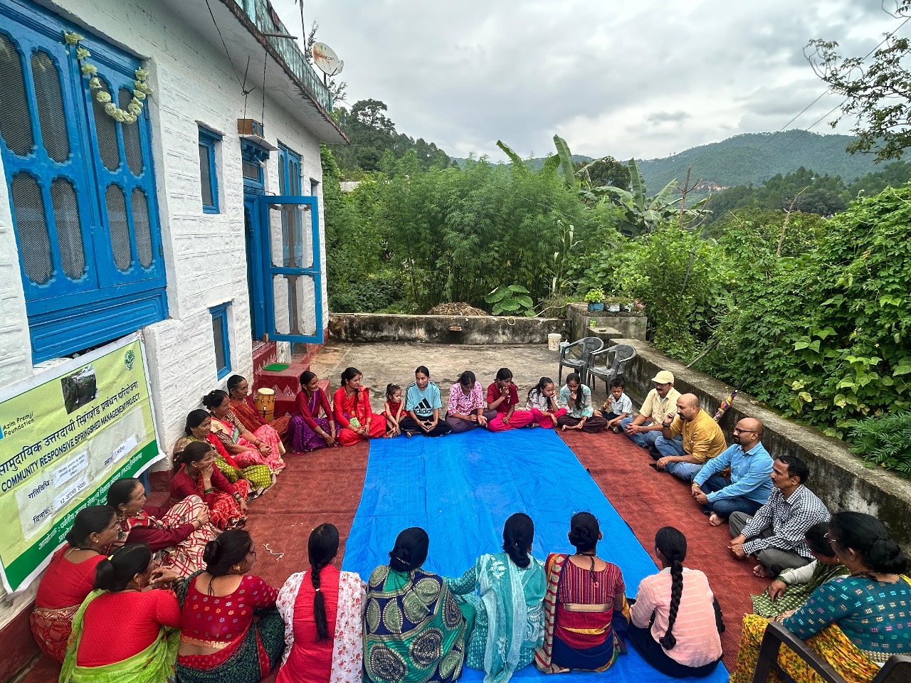
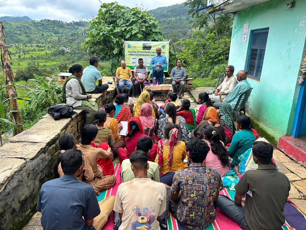
Community Responsive approach particularly Gender & Social Inclusion is key to success for Springshed Management.
Program Purpose :
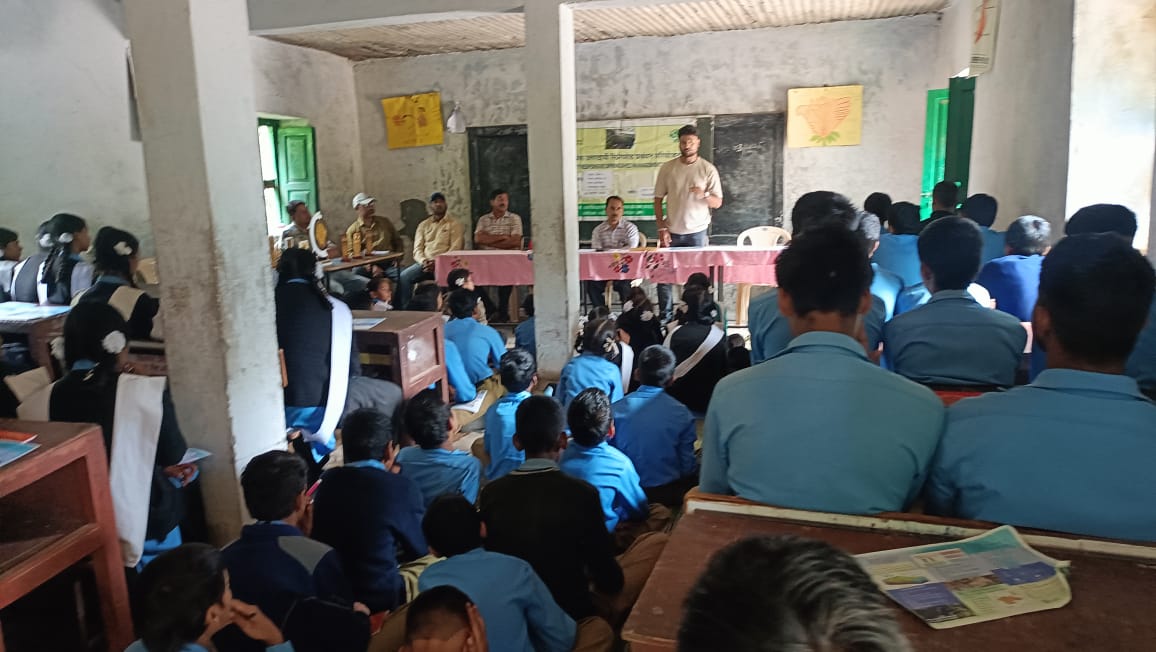
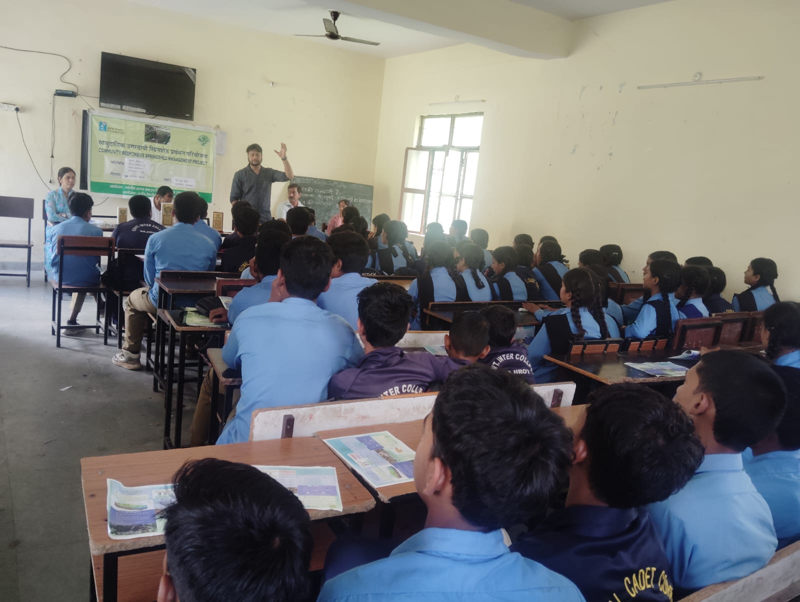
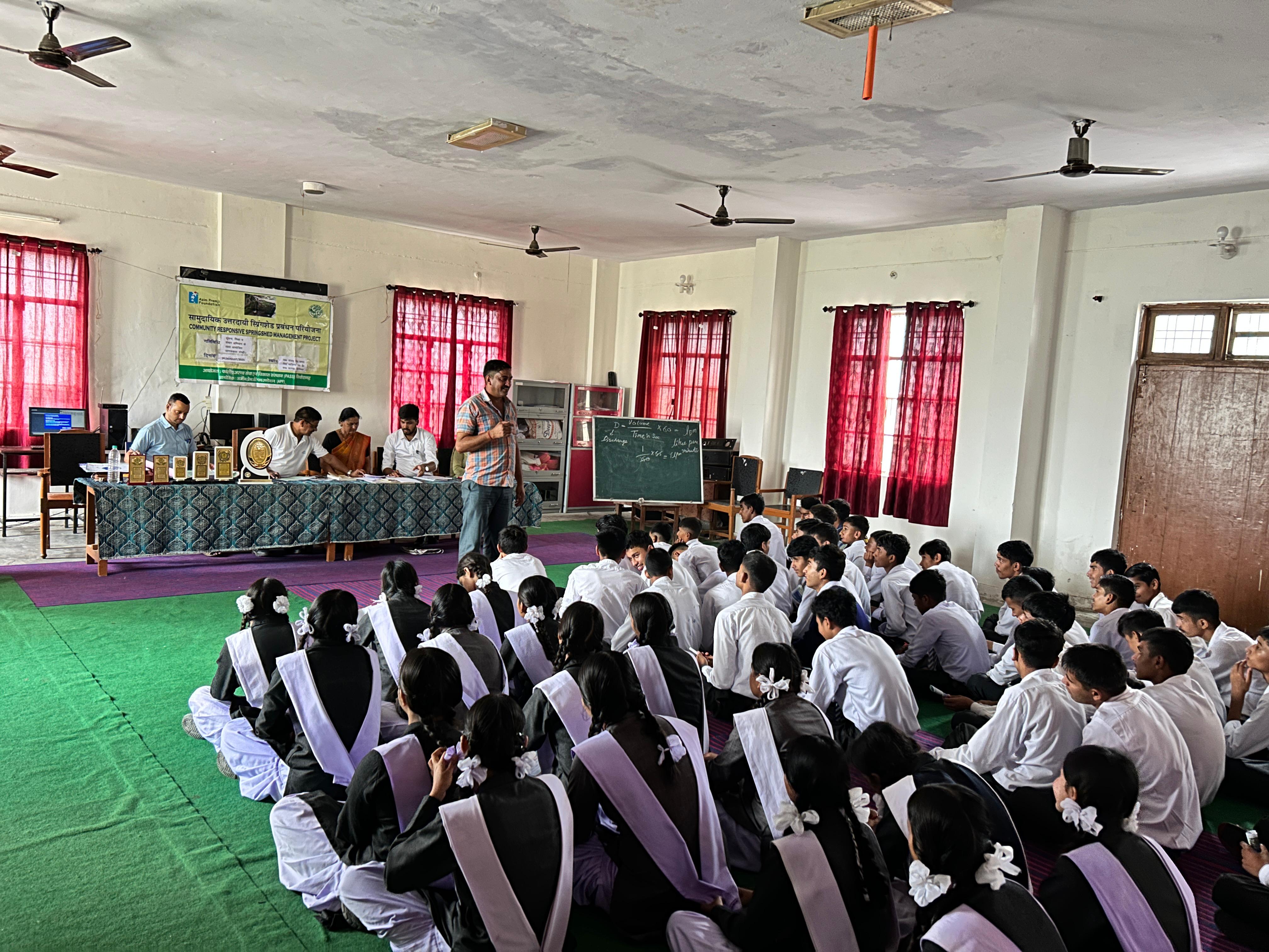
- Sensitization & awareness raising of selected villages (District Bageshwar) community and Capacity building of existing village level institutions (Gram Panchayat, Van Panchayat, SHG, Village Water & Sanitation Committee).
- Data/information of mountain springs and springs characteristics, geology, mapping and preparation of Village Springshed Management Plan (VSMP);
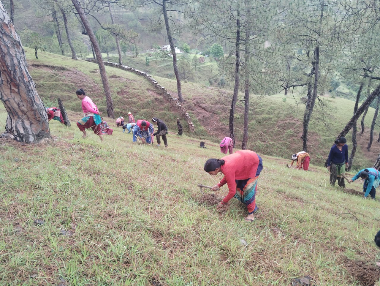
- Operational field demonstration models in selected villages and Revival/rejuvenation of spring(s).
- Developing protocols and policy documents on conservation and management options for monitoring, protection, enhancement and restoration strategies for springs.
Key Interventions :
Activities will be carried out in 3 phases – Planning (6 months) & Implementation (24 months) and O&M (6 months) during scheme cycle of 3 year. Key interventions will be as follows :-
- To adopt a Community Responsive approach particularly Gender & Social Inclusion for Springshed Management, sensitization, awareness raising of community and capacity building of village level institutions is the major step for sustainability.
- Primary data collection – Spring data (locations, discharges and water quality parameters)
- Comprehensive mapping of springs and spring-shed and development of Village Springshed Management Plan (VSMP)
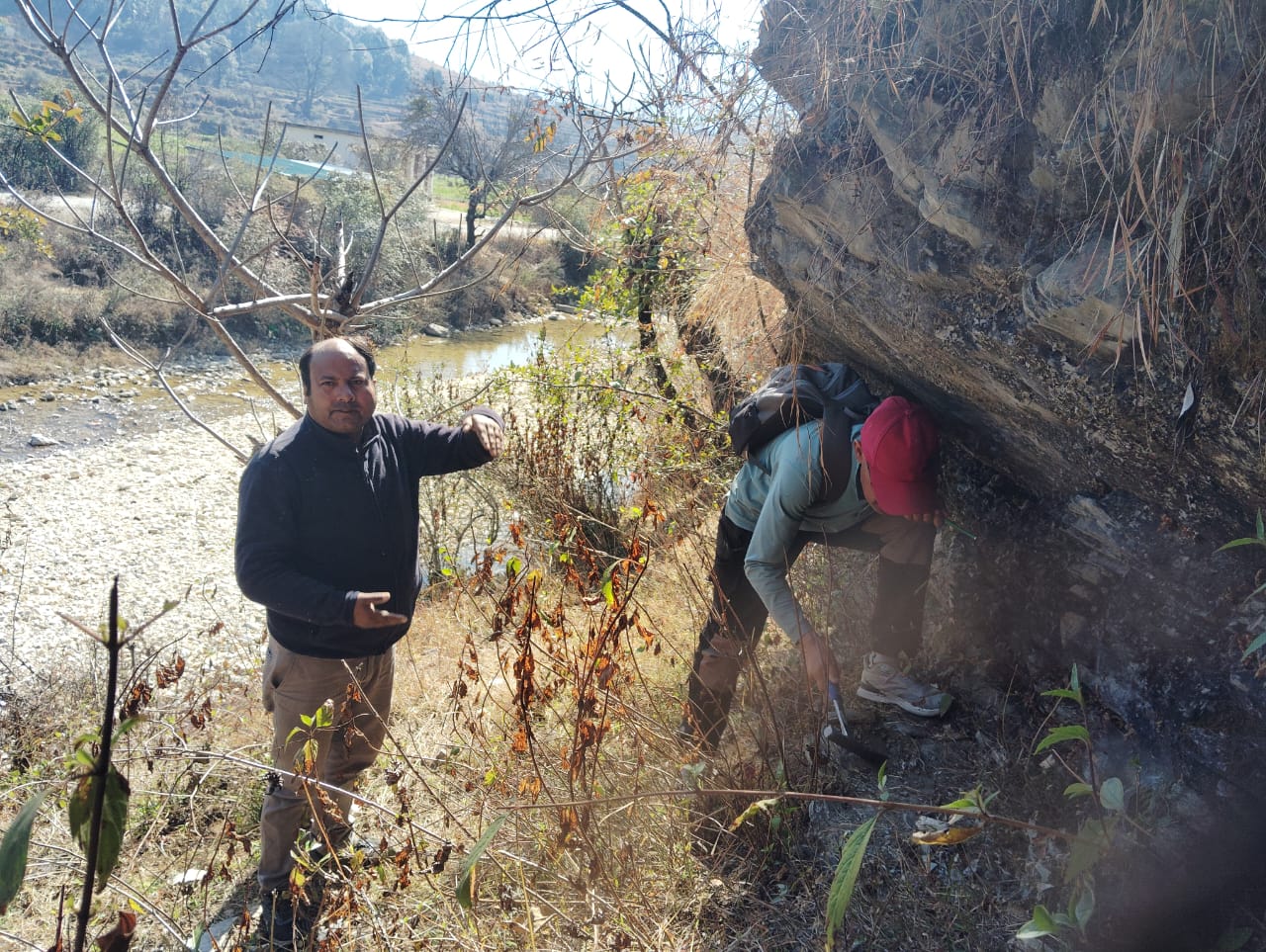
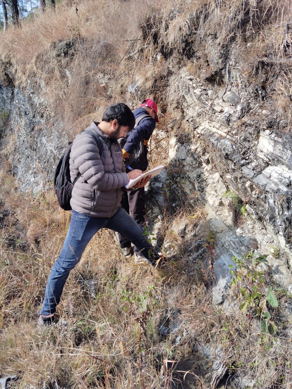
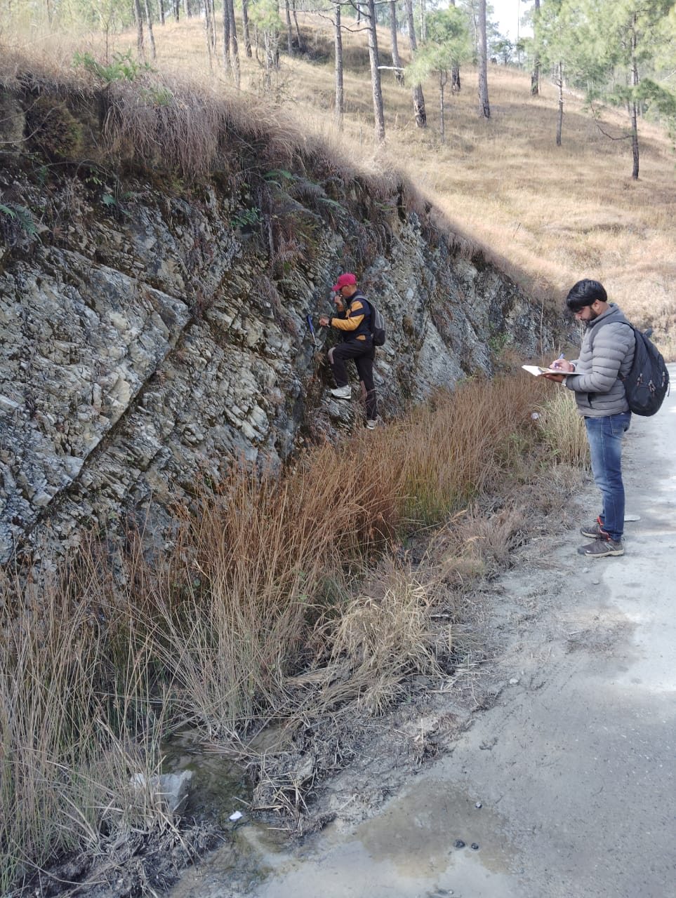
- Delineation of recharge zone of a spring using Geo-hydrological mapping, RS-GIS based technique.
- The Geo-hydrological mapping would constitute Geophysical Mapping of springshed (ranging from 2-5 ha area) for aquifer mapping along with Geological Mapping for geomorphology, rock structural settings (i.e., lineament / fracture / fold), drainage etc. These field verifications would validate the RS-GIS maps of spring recharge area.